Why is the weather so warm this November?
- Published

The scene at St Ives in Cornwall - not the sort of weather you would typically expect to see in November
UK temperatures are "exceptionally mild" for the time of year, with Scotland and Northern Ireland having the warmest November night on record.
The Met Office recorded overnight temperatures of 14.6C, external in Kinloss and Prestwick in Scotland, and 14.5C at Magilligan in County Londonderry.
Average UK night-time temperatures at this time of year range between 4-6C.
Meteorologists say the mild weather is the result of a powerful jet stream bringing warm air up from the south.
It's certainly a bonus for millions of people across the UK who are concerned about heating bills, but is it a sign of a permanent shift in weather patterns and how much is climate change playing a part?
BBC Weather's Simon King says the unusually high November temperatures are down to the jet stream and, more specifically, to the direction of the wind.
"A south-west wind is dragging in air from the Tropics, around the Azores and Cape Verde - where it is still warm at this time of year - and that milder air is spreading north to the UK," he explains.

What is the jet stream?
By Simon King, BBC Weather
The jet stream is a fast-moving wind high in the atmosphere - where commercial planes typically fly - that generally moves from west to east over the Atlantic to Europe.
It meanders, slows down and speeds up like a river and it's this movement that creates our weather.
It is also the dividing line between cold polar air and warmer tropical air. So as it changes shape and position, the UK can either be on the colder side or warmer side of the jet.

Is this a result of climate change?
"This weather pattern, while fairly unusual for the time of year, is not linked to climate change," says King.
While the warm air being dumped over the UK is "not a regular occurrence", it is a weather phenomenon that we experience every so often in the UK - so it is not a one-off.
The warmest recorded daytime temperature in November in the UK was in 2015, when temperatures reached 22.4C - an event that was also linked to the jet stream.
King adds: "Climate change may be altering the typical position of the jet stream further north - when considering its horizontal position/latitude averages over decades. This is different, though, from this scenario where the jet stream is meandering north to south like a big U.
"However, the warmer weather we've experienced this autumn - and extreme overnight temperatures just seen - are the types of conditions we're likely to experience more frequently in the future with climate change," he cautions.
This month alone, south-east England experienced the wettest first week of November on record - and July saw a record heatwave across the UK, with temperatures topping 40C for the first time - something "virtually impossible" without human-induced climate change, according to the Met Office, external.
The world is now about 1.1C above pre-industrial levels, and that increase is cited as contributing to a number of recent climate disasters such the floods in Pakistan.
In 2015, the Paris Agreement saw almost all the world's nations agree to "pursue efforts" to limit global temperature rises to 1.5C, and to keep them "well below" 2.0C above pre-industrial times.
The warmest seven years have all been since 2015, according to the United Nations.
"Not all weather events are directly linked to climate change," says King "but expect to see more records broken because of our changing climate".
Is the mild weather the start of a new trend?
Many of our European neighbours have also experienced "above average" temperatures in recent weeks.
Parts of France and Spain experienced an unusually warm late October, with bathers enjoying water temperatures of 20-21C on the French Riviera.
It was the warmth in parts of western Europe that was partly responsible for the above average temperatures the UK experienced later in October.
Here too the weather was caused by the jet stream "meandering so much to the west of Europe", says King, bringing unseasonable warmth to parts of France, Spain and even as far north as Scandinavia.
But this is "freak weather", he asserts, and not the start of a trend for warmer autumns.
BBC forecaster Ben Rich looks at why it's so mild for November
Will it turn colder and when?
The weather is likely to change again next week when we lose that "big meander" in the jet stream and it moves to a more typical position to the south of the UK, bringing cooler weather.
Temperatures are predicted to drop from Tuesday onwards, to a more typical November average.
But first, some sunshine.
This week has seen lots of cloud cover and strong winds, so even if the temperature is mild, it's not exactly been sunbathing weather.
"Meteorologically-speaking, temperatures are way above average, but it doesn't necessarily feel that warm because the sun is not that high," explains King.
However this weekend there will be more sunshine - says the BBC Weather expert - with temperatures in the UK expected in the mid- to high teens, around 18 or 19C.
Current forecasts suggest that the rest of the month will remain milder than average - in keeping with a year in which every single month has been warmer than average.
It will turn colder but no-one is putting money on a white Christmas at this stage - just a windy one.

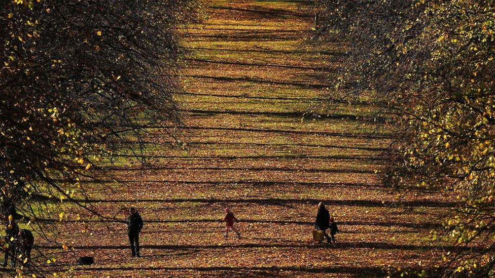
Temperatures across the UK's four nations are in the mid-teens, although weather warnings are in place for wind and rain in Scotland
Related topics
- Published11 November 2022
- Published11 November 2022