UK heatwave: Hottest day expected with temperatures of 32C
- Published
- comments

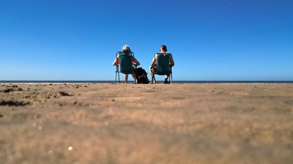
The hottest day of the year is expected in the next two days, with parts of the UK already in heatwave conditions.
Areas of West Yorkshire, Cornwall, Devon and Wales passed the threshold on Tuesday, the Met Office said, although Tuesday's hottest temperatures did not pass June's high of 32.2C (90F)
Heat-health alerts have been upgraded to amber for much of England, with only the North East under a yellow one.
It means people of all ages could be affected, putting the NHS at risk.
Met Office meteorologist Amy Bokota said 13 weather stations had officially recorded a heatwave and she expected "a few extra" would be added to that list over the coming days.
She said 32C was expected on Wednesday before a possible peak of 33C on Thursday.
"It will then be 32C right the way until Sunday for some places in the south," she said.
Heatwave criteria are met when a location records a period of at least three consecutive days with daily maximum temperatures meeting the heatwave threshold - which varies between 25C and 28C across the UK.

How are you coping with the hot weather? Get in touch.
WhatsApp: +44 7756 165803, external
Tweet: @BBC_HaveYourSay, external
Please read our terms & conditions and privacy policy

Hot conditions will be also be felt in Wales, while parts of Scotland and Northern Ireland could see "unseasonably high temperatures".
English regions included in the amber warning are: London, the South East, the South West, the East and West Midlands, the East, North West and Yorkshire and Humber.
All eight were issued with a yellow warning on Monday but this has now been upgraded.
The North East is the last remaining region to have a yellow alert in place - this means that the elderly and those with pre-existing health conditions should take extra care.
It also means officials do not believe there will be a significant impact on the NHS in the area.
The BBC's Helen Willetts explains exactly how hot it's going to get in the UK this week.
Temperatures reached 30C on Monday in southern England and south-east Wales, according to the Met Office.
The hot weather comes after what has generally been regarded as cool wet summer for much of the UK.
While July in particular was wetter and cooler than average with the maximum temperature failing to regularly reach 20C, the previous month was the UK's hottest June on record.
The warm conditions are continuing through Tuesday, with highs of 31C expected near London.
Parts of southern and western England could also see temperatures stay above 20C overnight into Wednesday, according to the Met.
"We will see good sunny conditions through the week with cloudless skies, and some high temperatures by the time we get to Wednesday and Thursday, where we could see 31, maybe 32C," Met Office spokesman Oli Claydon told the PA news agency.
He said the high temperatures would be "quite widely spread" across the UK, with the hottest conditions mainly being felt in south-east and central England.
Mr Claydon warned that Wednesday night could be a particularly warm with temperatures potentially not dropping below 20C, which is what is termed a "tropical night".
There could also be a tropical night on Thursday, he said.
The Met Office said that tropical storms in the far western Atlantic, as well as deep areas of low pressure, have helped to amplify the jet stream - a fast wind high in the atmosphere - over the Atlantic Ocean. This has led to high pressure "dominating over the UK", it said.
The forecaster added that temperatures could also hit 31C on Friday, although there could be more cloudy weather and chances of rain in the far north-west of Scotland.
Conditions could change over the weekend, and Mr Claydon said there was "no indication at the moment of another strong heatwave after this".
Average temperatures are expected to return by the middle of next week.
Heatwaves are becoming more likely and more extreme because of climate change.
Last year the UK recorded temperatures above 40C for the first time. Scientists said that would have been "virtually impossible without climate change".
The Met Office has also explained the reason for some "picturesque" sunsets across the UK.
Forecasters say it is due to "Saharan dust" which began to cover parts of the country yesterday and will continue for the rest of the week.
Summer weather: will there be a heatwave?

Sign up for our morning newsletter and get BBC News in your inbox.

Related topics
- Published30 July 2023

- Published3 July 2023


