Walkers with Google cameras make virtual North Downs Way
- Published

Peter Morris said getting over gates and stiles could be a problem
Volunteers have been walking the 153-mile North Downs Way with cameras on their backs to create a virtual tour.
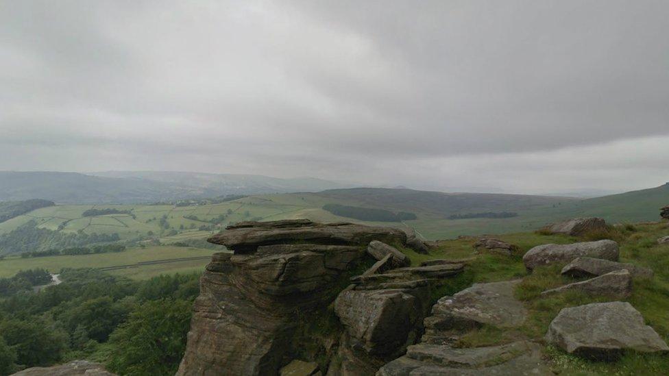
The North Downs Way runs from Farnham in the Surrey Hills down to the Dover coastline in Kent.
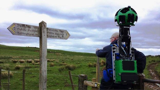
Images are being captured to map the route for Google Trekker - the off-road equivalent of Google Streetview. The technology has already been used to map the Grand Canyon and the Taj Mahal.
About 15 walkers have been using the 15-angle-lens cameras.
'Climbing problematic'
North Downs Way trail manager Peter Morris said he wanted people to be able to see the protected landscapes of the Surrey Hills and Kent Downs.
He said the camera was controlled by a handset that allowed the walker to start and stop taking images and also check quality control by making sure the camera was free of water, dirt or leaves.
"Walking up hill is fine as long as you can lean forward," he said.
"The problems are when you're trying to get over a stile or through a gate which has an overhanging tree, so you're trying to duck and climb with 23kg on your back.
"This all throws out your centre of gravity. So walking uphill is fine but getting over objects is a little bit more problematic."
Much of the North Downs Way runs along what are thought to be the original pilgrim paths that ran from Winchester to Canterbury cathedrals.
The images will be online by the end of the year - and mapping of the South Downs Way which runs from Beachy Head in East Sussex to Winchester in Hampshire - is expected to begin in the autumn.
- Published14 May 2015
- Published6 November 2014
- Published17 April 2014
- Published13 February 2014
.jpg)


.jpg.webp)