UK World War Two bombing sites revealed in online map
- Published

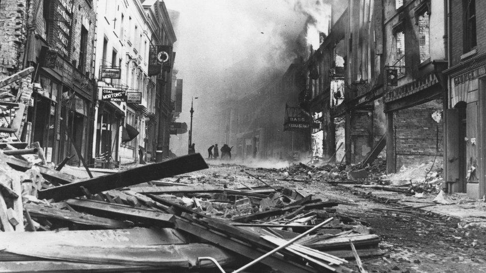
About 1,200 people were killed in numerous air raids on Hull during World War Two
A new map that plots every German air raid on the UK during World War Two has been released online.
A researcher from the University of York used wartime intelligence reports to compile the Bombing Britain database, external of more than 30,000 locations.
Dr Laura Blomvall, who carried out the research, said the raids stretched from the Orkney Islands to the Isles of Scilly.
The map has been launched to mark the 80th anniversary of the first raid.
German bombers attacked the Firth of Forth near Edinburgh on 16 October 1939. The last raid was a V2 rocket attack near Iwade in Kent on 29 March 1945.
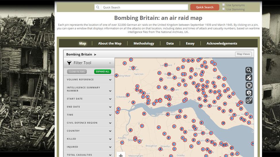
The online map uses intelligence reports held in the National Archive
The map includes information on the number of people killed or injured in each raid. Approximately 60,000 civilians died during the Blitz.
'Astonishing insight'
Dr Blomvall said the map showed how the six year conflict was "no longer confined to the battlefield".
"This map offers an astonishing insight into the extent and scale of total war," she said.
She added the database "allows us to visualise how bomb strikes affected the entire country, not just London and the South East".
The map is based on 6,500 pages of brief, daily reports compiled by wartime intelligence officers for the Ministry of Home Security and senior officials, which are now held in the National Archives.
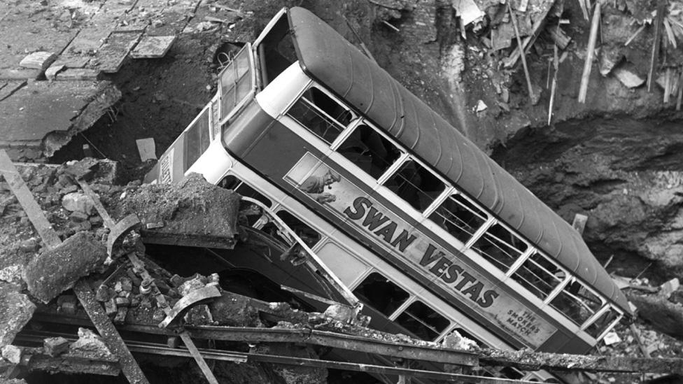
More than 60,000 civilians were killed in raids, including this one in London
Dr George Hay, a military historian for the National Archives, described it as a "fantastic resource".
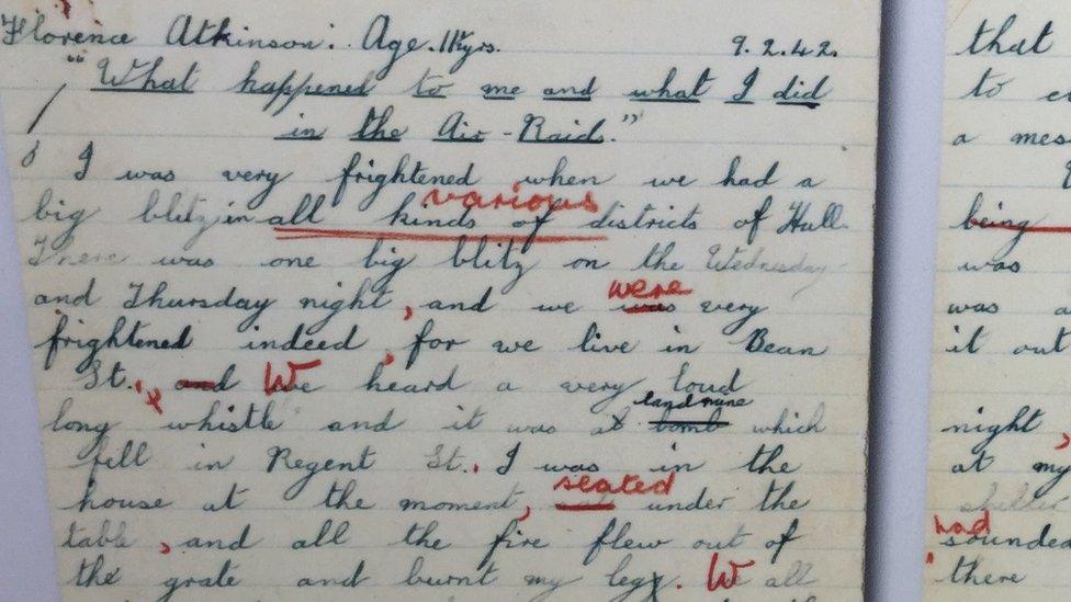
One of the heaviest bombed cities was Hull. During two raids in May 1941, more than 400 people were killed in the East Yorkshire port.
In all 1,200 were killed, 3,000 injured and more than 150,000 were made homeless by German raids on the city.

Follow BBC Yorkshire on Facebook, external, Twitter, external and Instagram, external. Send your story ideas to yorkslincs.news@bbc.co.uk, external.
- Published28 June 2019
- Published20 January 2018
- Published1 April 2016
- Published5 May 2016

- Published13 November 2015
