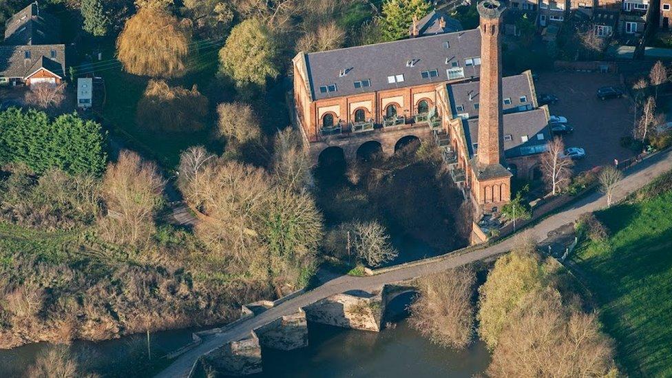
Barnstaple map discovery reveals a window to the past
- Published
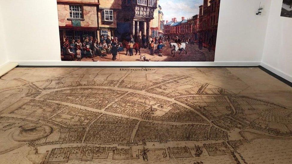
The 400-year-old map of Barnstaple was discovered in an Oxford museum
One of the most detailed maps of Devon in the 17th Century has returned to the county after it was discovered by historians.
The 400-year-old map of Barnstaple was found by experts hidden in plain sight at the Bodleian Libraries at the University of Oxford.
Researchers had studied the map for years before organising for its return to Barnstaple.
Devon historian Dr Todd Gray said the artefact was a "wonderful treasure".
"It's a legacy of 17th Century Barnstaple," he said.
"It's like a revelation... it's seeing Barnstaple in its real essence."
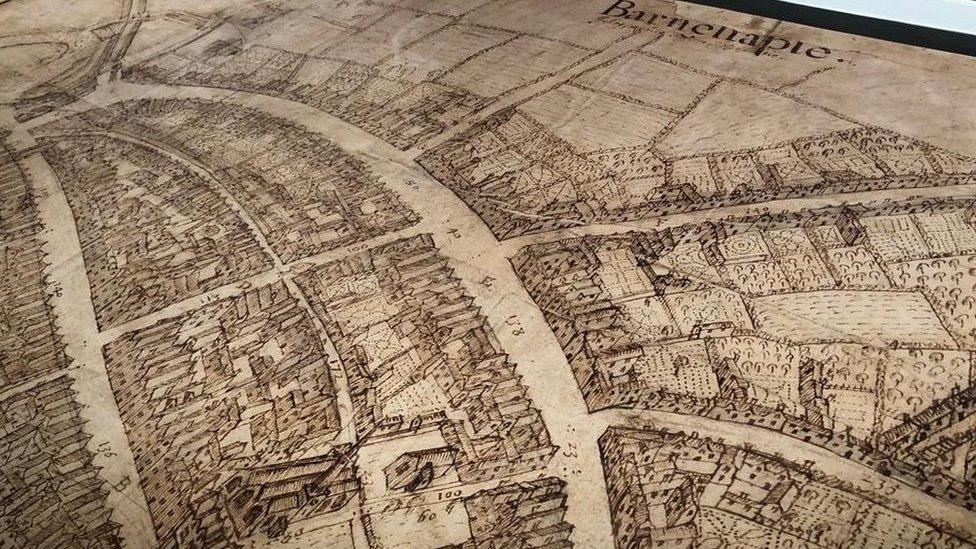
The map is one of the most detailed period maps of Devon and Cornwall
Drawn by English draughtsman Richard Newcourt, the map depicts Barnstaple when it was a thriving trading port.
Dr Gray said it had thrown up "big surprises" - such as the appearance of the town's priory - but the modern day layout is largely unchanged.
"Here's this wonderful treasure we had no idea existed - and it's here, it's home," he said.
"Gradually you start to work out this is what Barnstaple really looked like in the most detailed map of anywhere in Devon and Cornwall from its date.
"It's just a sheer joy when someone comes in to see their town 400 years ago."
The original map and an enlarged version of it is on exhibition at the Museum of Barnstaple and North Devon, external until February 18.

Follow BBC News South West on Twitter, external, Facebook, external and Instagram, external. Send your story ideas to spotlight@bbc.co.uk.
Related topics
- Published30 June 2022
- Published12 May 2022
- Published26 March 2022
- Published22 March 2022
