Grassland flooding to create Arne Moors wetland agreed by Dorset planners
- Published

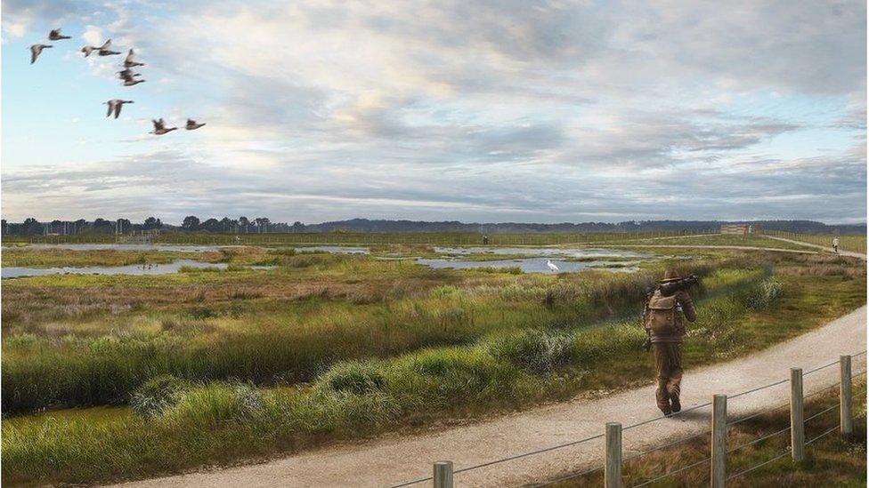
An artist's impression of the new Arne Moors reserve
A scheme to create a new wetland nature reserve by allowing tidal flooding to reach further inland has been approved by planners.
The 150-hectare (370-acre) Arne Moors site will replace marsh and mudflats that are being lost to rising sea levels, Dorset Council said.
It said the habitat near Wareham could attract up to 22,000 tourists a year.
The Environment Agency is expected to take three years to transform the site by breaching existing tidal walls.
New embankments will be built further inland to protect property.

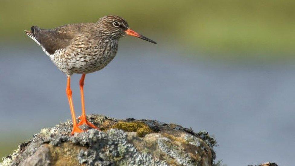
The work aims to protect wading birds such as redshanks
Neil Watson, from the agency, said rising water levels had dramatically changed Poole Harbour since the time of the Romans when it would have been a quarter of the size it is now.
Levels would rise again in the coming years by as much as they had done in 1,000 years before, he told a council planning committee.
Mr Watson said the scheme would protect both properties and wetland species, the Local Democracy Reporting Service reported.
Ward councillor Alex Brenton welcomed the project but warned it might attract too many tourists.
"The area is often rammed with visitors, especially after TV programmes such as Springwatch," she said.

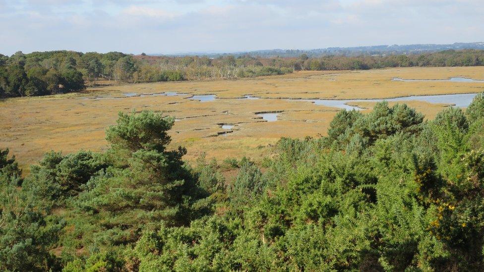
New salt marshes would be created near the existing RSPB Arne reserve
The council heard public paths would be created on the site, which currently has no existing public access.
The habitat, near the existing RSPB Arne nature reserve, would see grassland overtaken by salt marshes and a saline lagoon.
The RSPB, which will manage the site, said it would help protect bird species including redshanks, avocets, common terns and sandwich terns.

Follow BBC South on Facebook, external, Twitter, external, or Instagram, external. Send your story ideas to south.newsonline@bbc.co.uk, external.
- Published17 December 2017

- Published4 October 2017
