London transport: Google Street View goes underground on the Tube
- Published
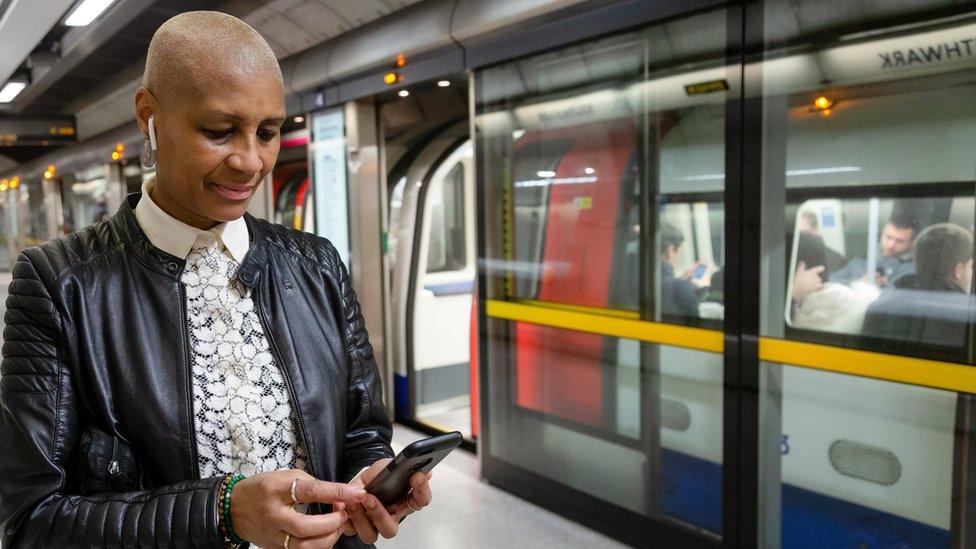
Transport for London (TfL) says the images should help people plan their journeys better
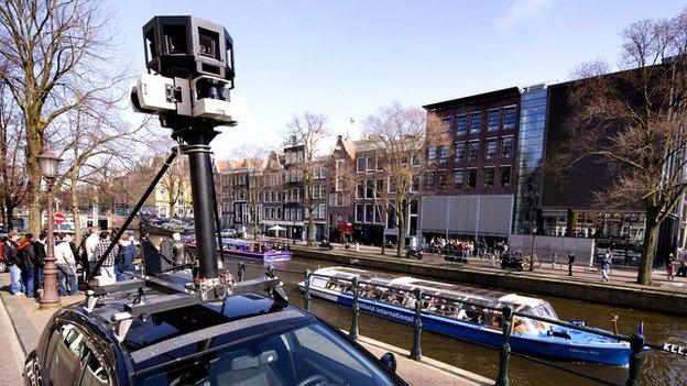
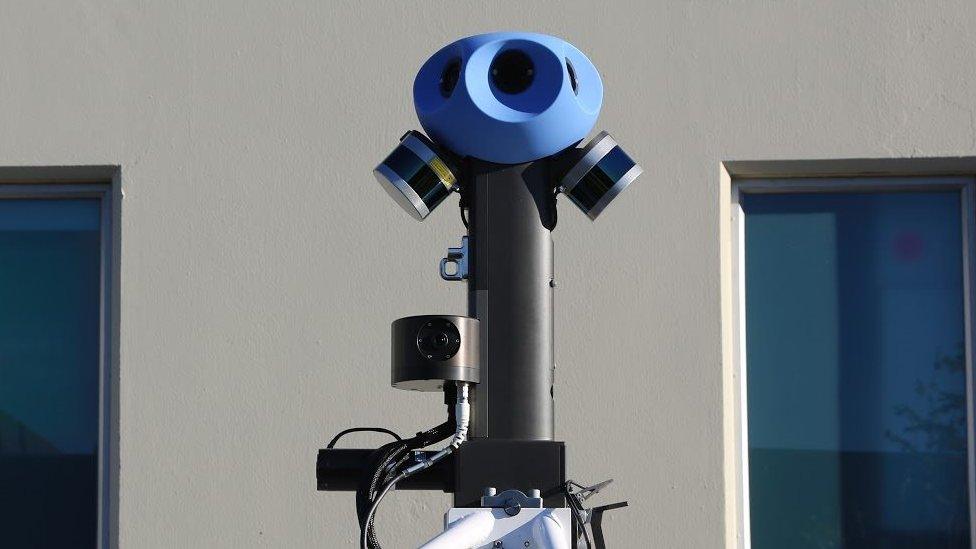
Google Street View is to go underground in London and capture 360-degree images of Tube stations.
About 30 stops - including Waterloo, Kings Cross St Pancras and Green Park - will be featured on the interactive panoramic maps.
Transport for London (TfL) said the collaboration is to help people better plan their journeys.
Recognisable human faces will be automatically blurred by the technology.
Google will soon start collecting Street View imagery between 10:00 and 16:00 over the next few weeks with posters placed at stations to let customers know when it is going on.
TfL said the project will allow customers to get a better sense of the layout of the stations as well as identify key facilities such as toilets and help points.
The images will then be launched throughout 2024.
Google previously covered three London stations in 2012, London Bridge, Victoria and Paddington, however, the new shots are expected to be more thorough and up-to-date.
In 2011 the Tate Britain on Millbank was also explored by its cameras.
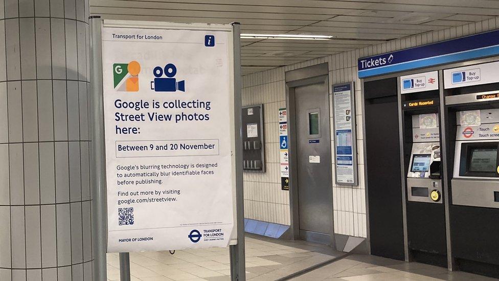
Google says any recognisable human faces will be blurred by its technology
The full list of stations in this round are:
Baker Street
Bank/ Monument
Bond Street
Camden Town
Canada Water
Canary Wharf
Canning Town
Cannon Street
Custom House
Embankment
Euston
Euston Square
Farringdon
Green Park
Hammersmith
Highbury and Islington
King's Cross St. Pancras
Liverpool Street
London Bridge
Moorgate
Old Street
Oxford Circus
Paddington
South Kensington
Stratford
Tottenham Court Road
Victoria
Waterloo
Westminster
Whitechapel

Listen to the best of BBC Radio London on Sounds and follow BBC London on Facebook, external, X, external and Instagram, external. Send your story ideas to hello.bbclondon@bbc.co.uk
Related topics
- Published17 June 2021
- Published6 September 2017
- Published14 August 2013
- Published28 July 2012
