Oxford online flood map launched
- Published

The initiative is designed to warn people to take action when water levels rise
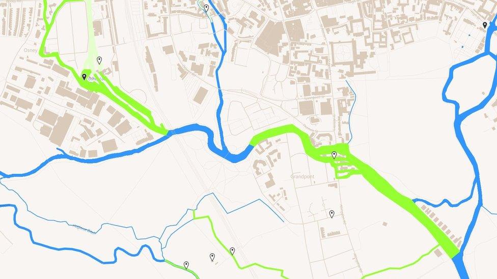
An interactive map monitoring Oxford's river levels has been launched online to act as an early-warning system for flood-prone areas.
The initiative between Oxford-based company Nominet and the Oxford Flood Network is designed to enable people to take action when water levels rise.
Sensors around the city give real time data which is then displayed online, external.
Nominet CEO Russell Haworth said: "If this can work in Oxford, it can work anywhere."
The Oxford Flood Network's Ben Ward is looking for volunteers
"Recent events have underlined the importance of effective monitoring systems when flood waters begin to rise," he added.
On the map, which has been released in a beta version, red indicates high water, followed by amber, green, and white.
It also uses data from the Environment Agency's sensors mounted at nearby locks, and its makers intend to add more sensors over time to give a street level view of water levels.

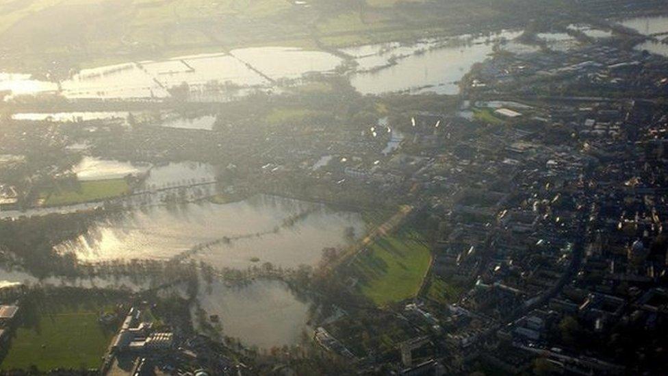
Oxford was badly hit by flooding in 2014 with major routes cut off for days
Ben Ward, from the Oxford Flood Network, said: "You don't need to get out on your bike and go and have a look in dangerous floodwaters.
"It shares that information with others in the community, who can actually see what the water levels are like under neighbours' floorboards, and that could be used by local authorities to make their decisions on where to put their limited resources."
Flooding caused widespread disruption in Oxford in February 2014 with homes and major routes cut off for days.
Its two main arterial routes, Botley Road and Abingdon Road, had to be closed. Train services also had to be stopped due to flooding on the line.
In September the Environment Agency carried out tests for a £120m flood relief channel to protect the city from flooding.
- Published18 September 2015
