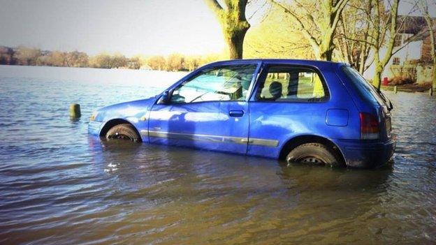
Oxford flood relief channel public consultation begins
- Published
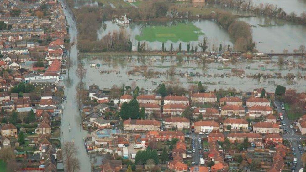
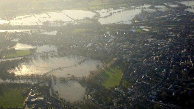
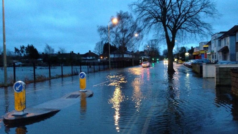
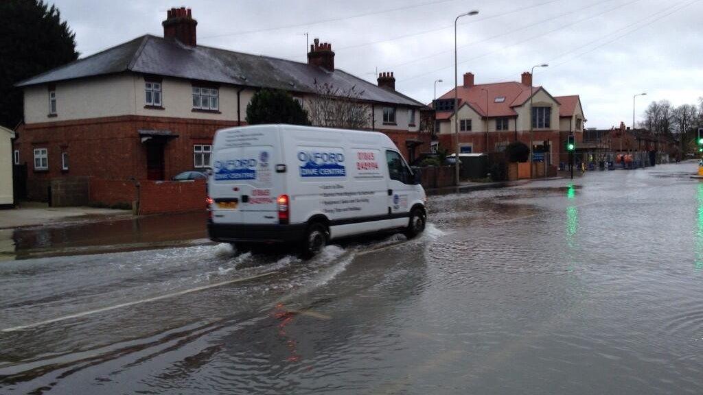
Oxford's two main arterial routes, Botley Road and Abingdon Road, were closed by flooding and train services also had to be stopped
A public consultation into options for the route of a £120m flood relief channel in Oxford has started.
The planned four-mile flood (6.5km) channel would flow through the city's western floodplain and divert excess water away from 1,200 homes.
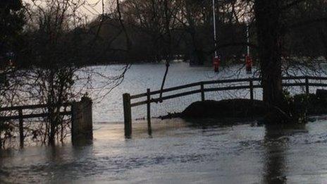
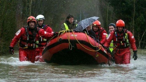
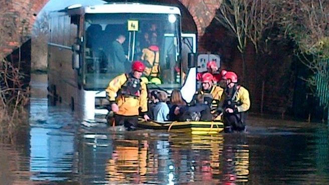
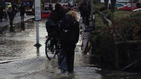
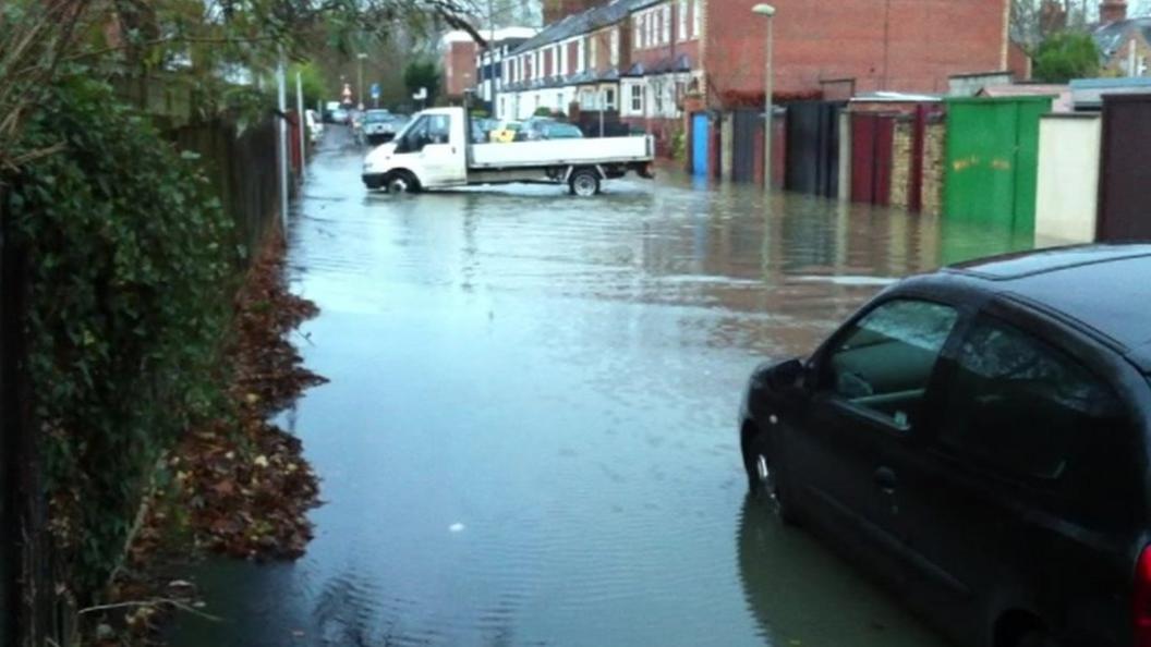
Flooding caused widespread disruption in February 2014 with homes and major Oxford routes cut off for days.
Now the Environment Agency and local councils will hold five drop-in events during a six-week public consultation.
Residents and businesses will be able to talk to the project team, suggest ideas, and indicate their preferred route for the channel.
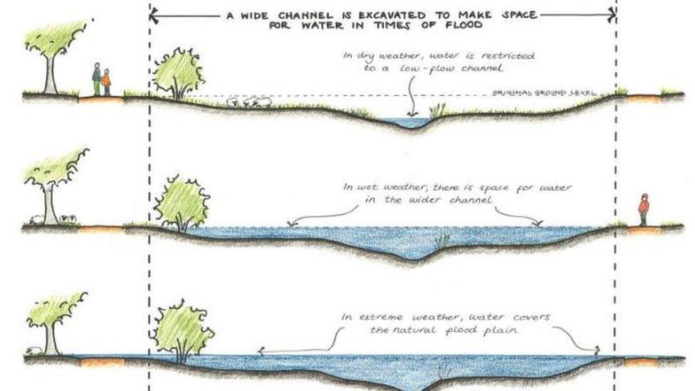
The project is likely to consist of a two-stage channel formed from widened existing routes and completely new sections
During the flooding thousands of sandbags were issued to residents and some had to use temporary toilets after drains overflowed.
Fire crews were also called in with pumps to divert water away from hundreds of homes into fields.
The dates and times of the drop-in events can be found on the county council's website, external. Construction of the channel is expected to start in spring 2018.
Joanna Larmour, project director for the Environment Agency, said: "The more local input we have, the better the scheme will be."
People can also respond using an online e-consultation portal, external, which will be open until 1 March 2016.
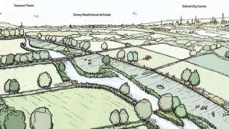
The four-mile channel would carry water to the west of Oxford in addition to the capacity of the River Thames
- Published18 September 2015
- Published7 January 2015

- Published1 March 2014
- Published21 February 2014
- Published11 February 2014
- Published9 February 2014
- Published7 February 2014
- Published12 January 2014
- Published9 January 2014
- Published9 January 2014
- Published8 January 2014
