Yorkshire Dales National Park gets Tolkien-style map
- Published

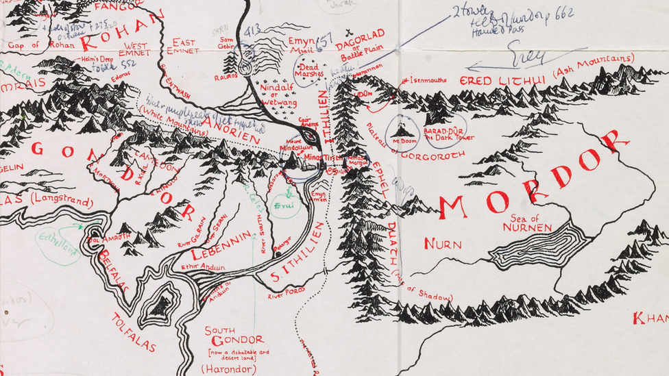
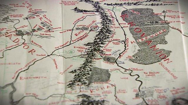
Dan Bell has created a Tolkien-style map of the Yorkshire Dales
A map of the Yorkshire Dales has been "re-imagined" in the style of author J.R.R. Tolkien.
Dan Bell, 25, hopes to draw each of the country's national parks in the same style and recently completed the dales.
The amateur cartographer said: "I like to think the maps allow people to imagine where they live in a Tolkien style."
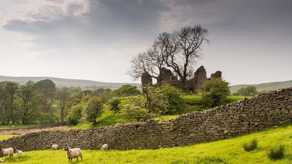
Gordale Scar, near Malham, is said to be the inspiration for Helm's Deep in the fantasy author's writing.
Mr Bell, a biologist and keen hill walker, said the maps are "not drawn with accuracy in mind".
He has now drawn six out of 15 parks, including the Lake District and the Peak District, he said.

Dan Bell drawn six out of 15 parks including the Lake District and the Peak District
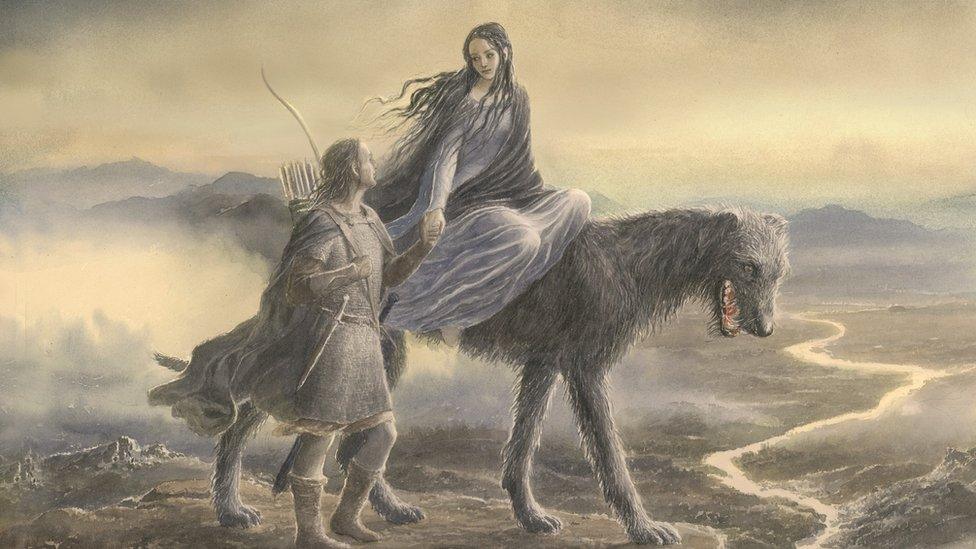
Tolkien's books included The Hobbit, The Lord of the Rings and The Silmarillion.
Published in 1954, The Lord of the Rings is one of the most successful novels ever written, having sold more than 150 million copies.
Mr Bell, from Crook in Cumbria, said he was no expert but "it is just something I appear to be very good at".
"I've tried to re-imagine the Yorkshire Dales," he added.
He said he has read all of Tolkien's books a "few times" and drawing the map was a "perfect melding" of his hobbies, but he "has no plans to pack in his day job".

Gordale Scar, near Malham, is said to be the inspiration for Helm's Deep in The Lord of the Rings
The Yorkshire Dales National Park boundary was extended in 2016 and now covers 841 square miles (2,178 sq km).
It was established in 1954 and most of the park is in North Yorkshire, but 28% of its land is now in Cumbria and 1% in Lancashire.
- Published1 June 2017
- Published1 June 2017

- Published7 August 2017
- Published1 August 2016
- Published23 June 2016
- Published23 June 2016