Heatwave: Northern Ireland could face highest temperature on record
- Published

Experts say that climate change is making heatwaves more likely as well as more intense and lasting longer
A heatwave is approaching the UK over the next few days.
There is not an extreme heat warning for Northern Ireland, but that is not to say it is not going to get very warm or even hot in places over the next couple of days.
Emergency services in NI have said they are expecting an increase in the number of less urgent calls to 999.
Met Office amber warnings for extreme heat are in place for England, Wales and parts of southern Scotland.
There is a red warning for parts of England on Monday and Tuesday.
The exceptionally hot conditions could be potentially life-threatening.
The heat is not typical summer weather, with highs possibly up to 40C (104F) or 41C (105F) and could cause quite a bit of disruption, on a par of for example of warnings for rain, snow or gales.
The highest temperature ever recorded in Northern Ireland was 31.3C in Castlederg in County Tyrone.
Last year's hottest day in Northern Ireland could well be challenged on Monday which sees the peak of the heat and strong sunshine.
The nights will be quite stifling with temperatures holding above 20C (68F) in some places.
Night-time temperatures will be uncomfortable for sleeping, in the mid to high teens.
Allow X content?
This article contains content provided by X. We ask for your permission before anything is loaded, as they may be using cookies and other technologies. You may want to read X’s cookie policy, external and privacy policy, external before accepting. To view this content choose ‘accept and continue’.
Sunday will see temperatures widely up to the mid-20s and as high as 26 or 27C inland and towards the south west.
Those temperatures are expected to be even higher on Monday, up to 30C possible towards the west and could be higher.

Monday will see the highest temperatures
999 calls
The Northern Ireland Ambulance Service (NIAS) has said it is expecting an increase in the number of less urgent calls to 999.
A spokesman said the public must only call in the case of an emergency to "help protect the most vulnerable".
He added that, where possible, patients should consider self-transport.

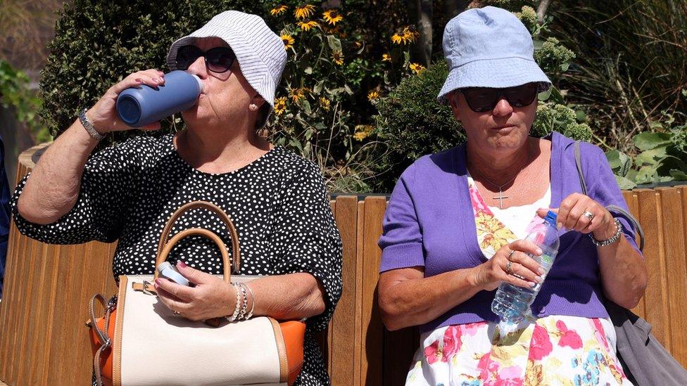
Keep hydrated by drinking plenty of water in the hot weather, health experts say
"Before dialling 999 we would ask other options are considered for less serious issues. These options might include self-care or advice from other healthcare professionals such as pharmacists," he said.
"When calling 999 you will be advised that your call has been accepted and to only call back if there is a change in patient's condition. Please do not call just to check on ambulance arrival as this creates difficulties in answering other calls," he said.
He added that people should be patient when waiting to speak to control staff, and not hang up to avoiding losing their place in the queue.
The NIAS has also apologised for any delays people may experience.
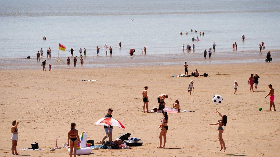
With the improved weather seeing more people heading to Northern Ireland's coastline, emergency services are asking people to take proper precautions.
Mark Johnson, from Bangor RLNI, told BBC News NI there are a few red flags people should be aware of when visiting the water during the sunny spell.
"When you get to the coast have a look at what the wind is doing, if there's a flag flying there you'll be able to see it fluttering and know the wind direction," he said.

Mr Johnson says with a "little bit of forethought" people can stay safe and enjoy the water
He added: "Have an idea what the tide is doing because the tide can very quickly sweep you off your feet, it can take you away.
"So whether you're swimming, paddle boarding or kayaking, just have a forethought.
"Wear protective clothing if you're on a kayak or paddle board and have some means of communication with the coastguard so that if you do get into difficulty you can be rescued."
UV levels will also be very high for both Sunday and Monday - so cover up or put on a sunscreen and keep hydrated if you are going to but out in the sun for any length of time.
It will still be very warm on Tuesday when the humidity will rise as well as a weather front starts to move in from the Atlantic.
That will signal a breakdown to the short lived very warm spell.

What does a red warning mean?
The Met Office red warning is the highest level of warning.
It is for extreme heat and covers an area including London, Manchester and York on Monday and Tuesday.
It is the first time it has been issued since the warning system for heat started last year. It means:
There is a danger to life and risk of serious illness, not just among the most vulnerable
People will need to change their daily routines and working practice
There could be disruption to power supply, water and even mobile phone signal
Increased risk of water safety incidents
Delays to road, rail and air travel
Rain is forecast to move in later in the day and into Tuesday night and could be heavy and thundery.
Once this system moves through, it will turn fresher for the rest of the week, with strong northwesterly winds for a time on Wednesday.
Related topics
- Published16 July 2022
- Published15 July 2022