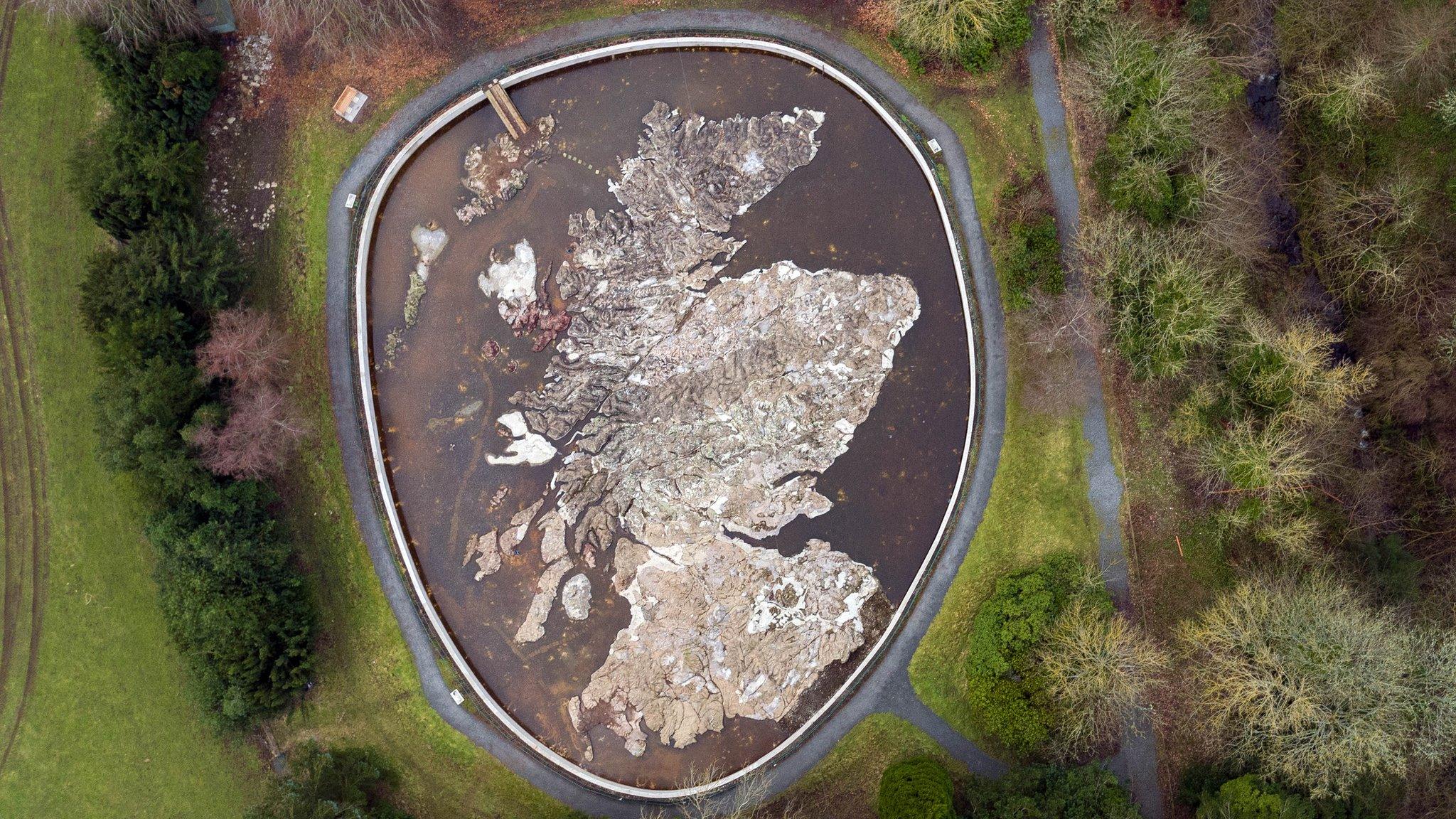
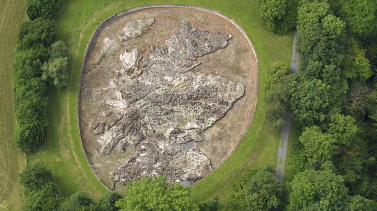
Great Polish Map of Scotland progress captured by drone
- Published

An image taken from a drone has captured the progress being made on the restoration of a giant three-dimensional concrete map of Scotland.
The Great Polish Map of Scotland was built in the 1970s in the village of Eddleston, near Peebles.
It was constructed in recognition of Scottish hospitality to Polish soldiers during World War II.
The image of the category B-listed sculpture was taken by photographer Gareth Easton.
The map is currently the focus of a major restoration project in the grounds of the Barony Castle Hotel.
The idea for it is believed to have originated with Jan Tomasik, proprietor of the hotel from 1969 to 1977.
He settled in Scotland after World War II and developed his concept for the map with input from his former commander, Gen Stanislaw Maczek, who also lived in the country.
The map sits in an oval pool about 160ft (50m) wide and 5ft (1.5m) deep with water recreating rivers, lochs and seas.
The campaign to restore it began in April 2010, when a group of volunteers constituted Mapa Scotland, a charitable trust, to advance the plans.
- Published17 September 2012
