Drivers warned of icy stretches, hail, sleet across Wales
- Published
- comments

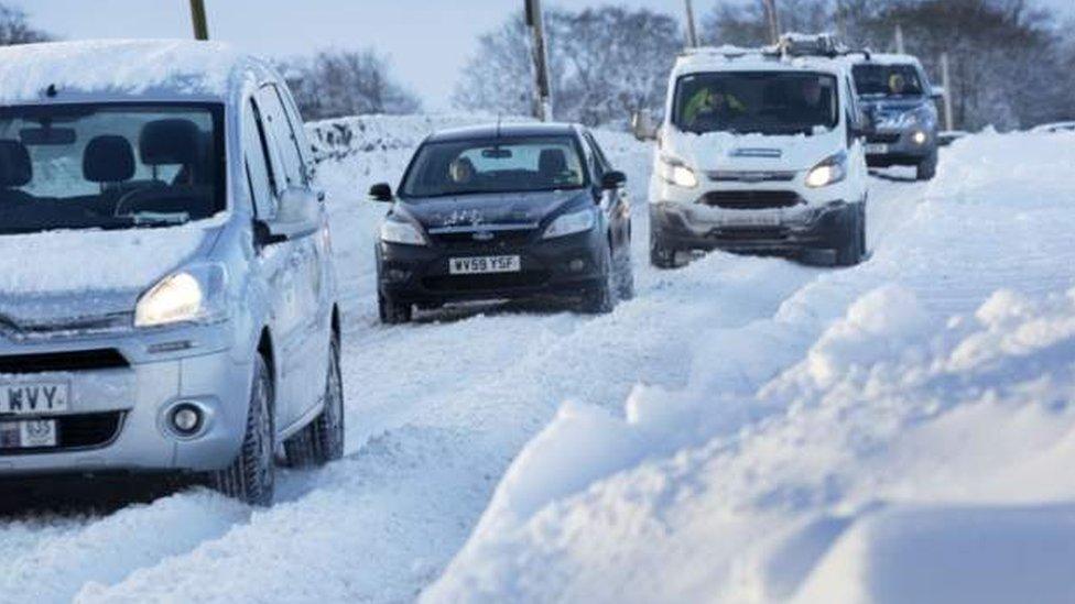
Drivers have been warned to expect icy conditions on Friday
Drivers across Wales have been advised to take extra care overnight amid challenging driving conditions.
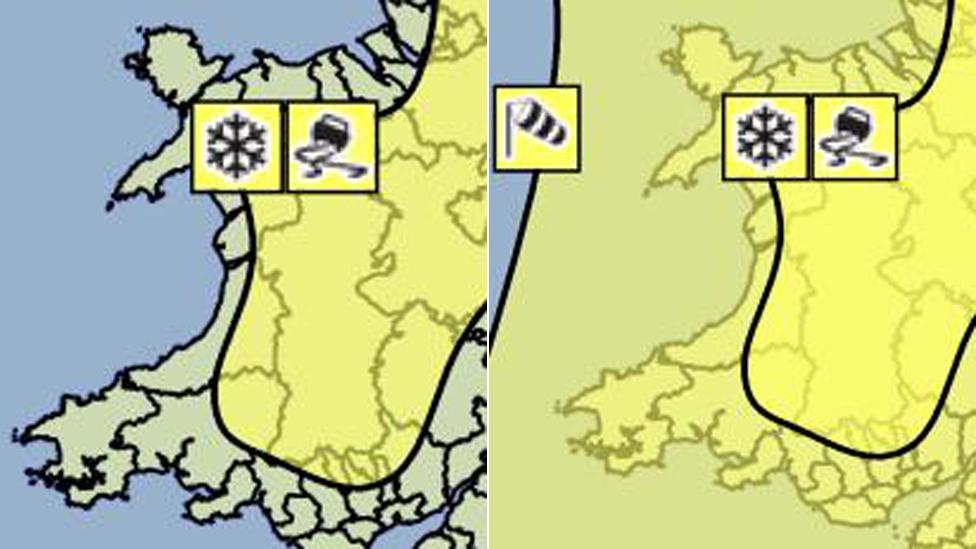
Icy stretches are expected to form on Thursday night lasting into Friday morning, the Met office said.
It added that rain, hail, sleet and, over higher ground, snow showers would continue to push across Wales and western England.
These may lead to some difficult driving conditions in places and some longer journey times.
Temperatures will drop on Thursday evening and snow is expected mainly above 150 metres.
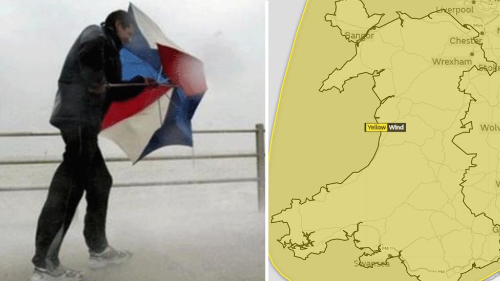
Earlier on Thursday, rail services were disrupted in mid and north Wales after objects were carried on to tracks by high winds.
A freight train hit two sheds, which blew on to the track between Newtown and Welshpool in Powys.
Replacement buses were used until the stretch was cleared, while the line between Wrexham General and Bidston was blocked.
Western Power said power in South Wales was back to "business as usual" levels. Earlier, 206 homes across Wales had been left without power.
Overnight on Wednesday, the highest wind gust of 93mph (150km) was recorded near Capel Curig, Conwy.
The Met Office had issued a yellow "be aware" warning, external and said winds could damage buildings and affect travel.
- Published17 January 2018
- Published17 January 2018
- Published15 January 2018