Donald Trump: Why has a weather map got the US President in trouble?
- Published
- comments

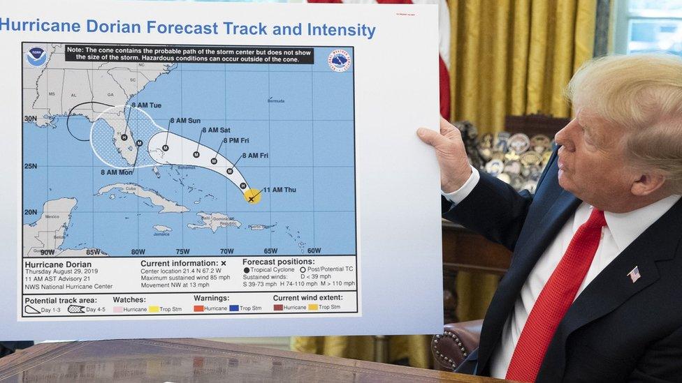
The black loop appeared to have been added to include Alabama in the storm's projected path
US President Donald Trump might be in trouble after showing an altered weather map of the projected path of Hurricane Dorian.
He was updating the nation on the storm's path across America's southern states, but the map featured an additional black loop drawn on in marker pen, covering parts of the state of Alabama.
The president has insisted in recent days Alabama was at risk, but official weather agencies have predicted that the storm will not impact the state.
"I know that Alabama was in the original forecast," Trump said later Wednesday when asked about the image he showed, adding that there were other maps "showing Alabama being hit very hard."
Some people have suggested that the felt tip loop was added by someone in order to show the President was right, but White House officials have defended the President.
Asked whether the black line over Alabama was made with a permanent marker, Trump said, "I don't know. I don't know."
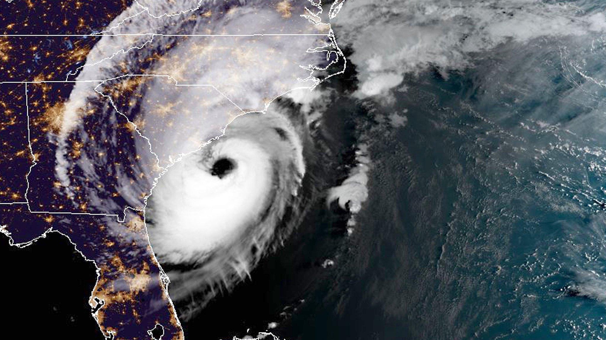
Forecasters have said Dorian will affect Florida, Georgia, South Carolina and North Carolina.

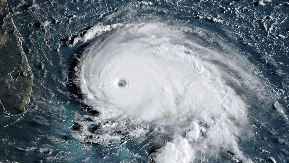
A satellite image showing Dorian has it approaches the Bahamas
What's happening with Dorian?
The hurricane hit the Caribbean islands of the Bahamas earlier this week - it was one of the most powerful storms the islands have ever experienced, with winds of 180 mph.
On Sunday morning, Mr Trump tweeted: "In addition to Florida - South Carolina, North Carolina, Georgia, and Alabama, will most likely be hit (much) harder than anticipated."
However, the National Weather Service in a town called Birmingham in Alabama, tweeted "Alabama will NOT see any impacts from #Dorian. We repeat, no impacts from Hurricane #Dorian will be felt across Alabama."
Simon King explains what hurricanes, cyclones and typhoons are
Some other experts have noted that it is illegal to alter official weather maps.
According to a top American law school, US law says anyone who "knowingly issues or publishes any counterfeit (which means faked) weather forecast" can face up to 90 days in prison.
- Published7 September 2019

- Published15 August 2024

