Health alert as temperatures to hit 30C this week
A burst of summer - and rain
- Published
A heat-health alert has been issued for parts of England, with temperatures predicted to hit 30C (86F) on Friday.
The alert is in place from 17:00 BST on 18 July in London, the East Midlands, South East and eastern England.
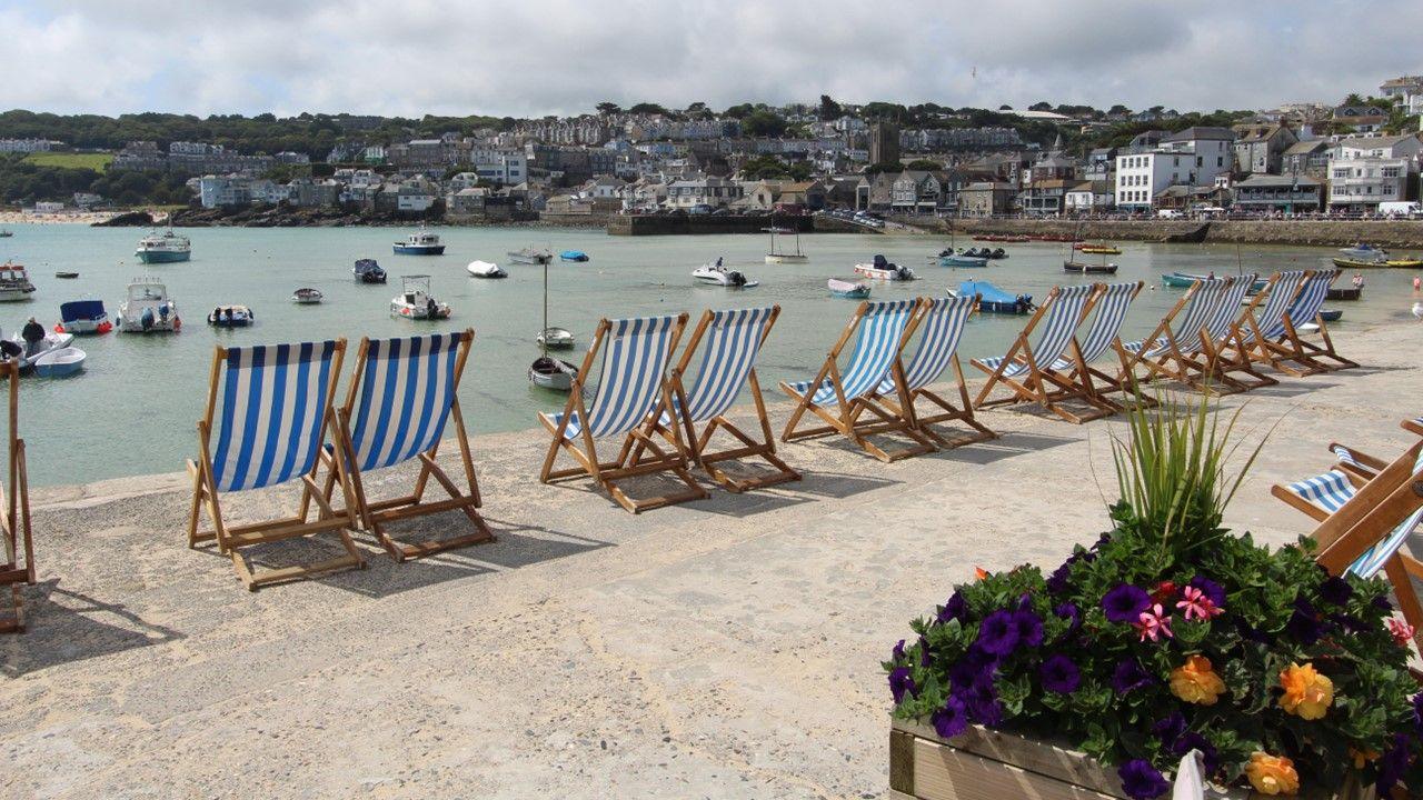
Areas across the UK that have experienced a July washout so far are now set to turn a lot drier and warmer, albeit briefly.
The weekend will see a band of rain move across the UK from the west, bringing in showers and some thunderstorms, and cooler weather for all by Sunday.
Will there be a heatwave?
This will be the first spell of warm weather for most of the UK this month, but it is unlikely to mark the start of a heatwave.
For a heatwave to be declared, temperatures must be above the official heatwave threshold, external for at least three consecutive days.
In the London area, that threshold is 28C. For Scotland, Northern Ireland, Wales and most of northern and western England, it’s 25C.
But temperatures could set a new record for the hottest day of the year, after 30.5C was recorded in Wisley, Surrey on June 26.

Which areas are covered by yellow alerts?
A yellow warning indicates that weather conditions could pose a risk to those who are particularly vulnerable.
The UK Health Security Agency (UKHSA) has issued yellow heat-health alerts from 17:00 BST on 18 July for four areas of England:
East Midlands
East
London
South East
The alerts will remain in place until 23:00 on 20 July.

Will the warm weather last?
July has been wet and chilly across much of the UK, with temperatures falling below or just at the seasonal average.
Some parts of the country, including Loftus in North Yorkshire and Northolt in London, have already had more than twice the average rainfall for July.
It has not been a washout everywhere though. Some northern and western areas, including Castlederg in Northern Ireland and Machrihanish in western Scotland, have been comparatively dry and seen only about 20 to 25% of their average July rainfall.
Northern Ireland is a lot drier compared to last July, which was its wettest on record.
The cool and wet July across much of the country has been a result of the jet stream – fast-moving wind high in the atmosphere – being positioned predominantly over or to the south of the UK.
In the next few days, the jet stream will shift to the north - allowing a plume of hot air from northern Africa and Spain to bring in a few days of sunshine for some parts of the UK.
Over the weekend, however, a thundery breakdown in the east will lead to temperatures dipping back to average, and cooler weather for all of the UK by Sunday.
Expect some showers and longer spells of rain next week, especially in the north and west.
- Attribution
- Published16 July 2024