Every corner of Yorkshire Dales in focuspublished at 10:39 BST 8 August 2017
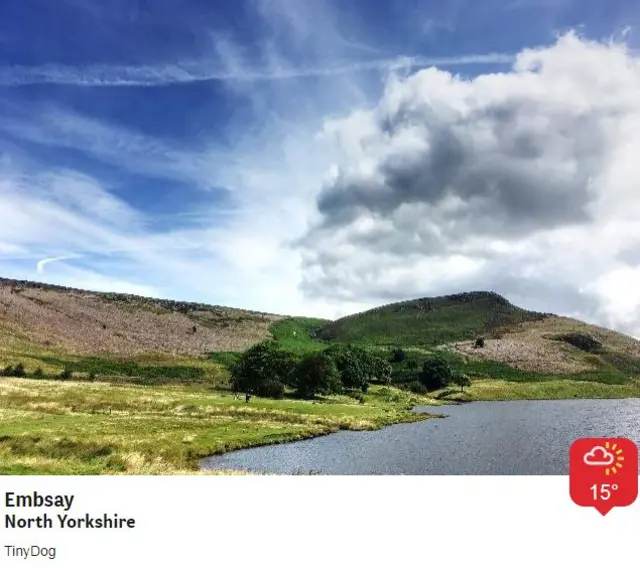
An exhibition of images captured by a team of photographers aiming to cover every square kilometre of the Yorkshire Dales National Park has opened.
 Image source, Mark Butler/F Clens/Andrew Lambert
Sixty amateur and professional snappers donned their walking boots and took a photo at each point where Ordnance Survey map grid lines intersected in the park boundary.
About 1,000 images were submitted over 18 months, with each participant covering an average of 16 sq km each.
A collection of the best photos has gone on display in Leyburn.
 Image source, Yorkshire Dales Grid Project
The Yorkshire Dales Photographic Grid Project saw each photographer allocated a section of land, with all photos taken as part of the project collated in an online gallery, external.
Volunteers were told to seek permission from the landowner to take a photo if their grid square intersection fell on private land.
The Yorkshire Dales National Park now covers a total of 2178 sq km, with the team hoping to have covered it all by the end of 2018.

