Sentinel satellite spies ice cap speed-up
- Published

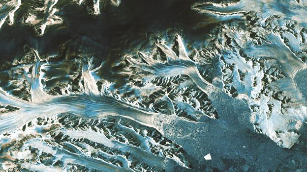
Sentinel-1a's new false-colour image of Austfonna Ice Cap (L). Ice drainage to the ocean has speeded up rapidly in recent years (R). The colours denote flow rates, from slow (dark blue) to fast (red).
Melting at one of the largest ice caps on Earth has produced a big jump in its flow speed, satellite imagery suggests.
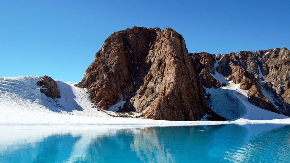
Austfonna on Norway's Svalbard archipelago covers just over 8,000 sq km and had been relatively stable for many years.
But the latest space data reveals a marked acceleration of the ice in its main outlet glacier to the Barents Sea.
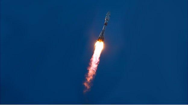
The research was presented in Brussels on Thursday to mark the launch of the EU's new Sentinel-1a radar spacecraft.
This satellite has been in orbit barely a month but is already being tasked with a range of science observations and other duties.
European Commission officials are keen to showcase the platform's capabilities before it goes into full service, including what it can do at high latitudes.
Radar is particularly useful in these regions. It senses the surface whatever the weather conditions and even in the darkness of polar winter.
Scientists had suspected the Arctic's Austfonna Ice Cap was losing substantially more ice through its major drainage glacier at Cap Mohn, and asked if Sentinel-1a could take some pictures.
"We've observed Austfonna with various satellite radar datasets over the past 20 years, and it hasn't done very much," explained Prof Andy Shepherd from Leeds University, UK.
"But we've now looked at it again with the new Sentienl-1a spacecraft, and it's clear it has speeded up quite considerably in the last two or three years. It is now flowing at least 10 times faster than previously measured."
That previous measurement was done using the German national TerraSAR-X radar mission.
The speed of a glacier is judged by how far prominent features such as a big crevasse travel in time.
An "ice cap" is much smaller than an "ice sheet", a term that more properly describes the huge frozen masses covering Greenland and Antarctica.
An ice cap does, however, share a similarity with its bigger cousin in that it too has glaciers flowing away in many directions.
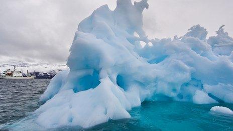
The Earth's ice caps and glaciers have become a key focus for scientists because these are the ice fields that appear to be experiencing the greatest change currently.
"Although ice caps and glaciers contain less than 1% of the world's ice, they contribute around 50% of the sea-level rise due to ice melting," explained Prof Shepherd.
A detailed report on Austfonna and the probable causes of the speed-up is being prepared for publication in a science journal.
Prof Shepherd's team said the quality of the Sentinel data was very impressive, especially since the satellite was still in the process of drifting towards its final operational orbit.
It augured well for future studies of the cryosphere - research that will be boosted further when a carbon-copy Sentinel is launched in 18 months to hasten the acquisition of imagery.
The European Commission used Thursday's event to highlight a variety of other scientific and operational applications for Sentinel-1a data.
These included making rapid charts for mariners to warn them of nearby icebergs, and keeping watch over the seas for illicit oil spills.
Europe has committed some 7.5 billion euros to the end of the decade to launch a fleet of environmental monitoring satellites.
They are all called Sentinels but will have specific roles, viewing the Earth using a range of observing techniques.
The spacecraft will gather scientific data but also information the European Commission needs to design and enforce community-wide policies.
The Sentinels and the applications that stem from their data fit within what the EC calls its Copernicus programme.
Its scope and financial outlay makes it the biggest civilian Earth observation project ever envisaged.

The bright spots in the image are oil platforms off the coast of Norway. The black areas show where water is released by the platforms. This water is slightly oily, though not enough to be in violation of regulations
What is Copernicus?

Sentinel-1a will be followed into orbit by a fleet of other sensors
EU project that is being procured with European Space Agency help
Pulls together all Earth-monitoring data, from space and the ground
Will use a range of spacecraft - some already up there, others yet to fly
Expected to be invaluable to scientists studying climate change
Important for disaster response - earthquakes, floods, fires etc
Data will also help design and enforce EU policies: fishing quotas etc
Jonathan.Amos-INTERNET@bbc.co.uk and follow me on Twitter: @BBCAmos, external
- Published16 April 2014
- Published3 April 2014
- Published2 April 2014
- Published14 May 2013
- Published7 March 2013