Ups and downs: Riding the jet steam rollercoaster
- Published
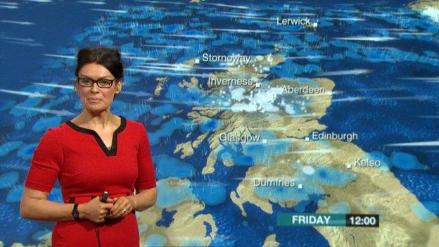
One minute we are seeing wet, windy and mild conditions the next thing it feels like winter is here to stay.
This pattern of constantly alternating weather looks set to remain with us in the run up to Christmas. So what's causing it?
Over the last month we have been subject to a weather pattern which has been oscillating between drier, brighter, colder weather and milder, cloudy and wet conditions.
To the south west of the British isles we have an area of high pressure which has been there, or thereabouts, for a while and to the north of Scotland we have seen several areas of low pressure, or weather systems, passing by at regular intervals.
This set-up is as a result of the position of the jet stream.
The term "jet stream" is more and more part of the vocabulary of weather presenters.
The jet stream is a very fast moving ribbon of incredibly strong winds that sits high up in the atmosphere.
These winds are responsible for the development of areas of low pressure at the surface, and in this case, the position of the jet stream has brought a series of low pressure systems across the Atlantic from west to east.

What is a jet stream?

The jet stream has been waving up and down lately
Jet streams drive weather systems worldwide.
The UK has some of the most variable weather due to its location under a jet stream.
A jet stream is a narrow zone of high-speed winds. They can extend several thousand miles long.
Jet streams are typically found about 30,000 feet up in the atmosphere and are formed through significant temperature differences between conflicting air masses.
The ribbons of strong winds influence global weather patterns and their positioning helps meteorologists to forecast the weather.

Two things have been happening.
Firstly the jet stream has been waving up and down, a bit like a roller coaster.
As it moves north, it brings milder air across Scotland. Then, as it moves back south, we see a plunge of colder air across the country all the way down from the Arctic.
So what does this look like to us?
Well picture this - there are areas of low pressure passing to the north of the UK, and you also have to take into account that the winds go anti-clockwise around a low in our part of the world (the northern hemisphere). In the southern hemisphere they go clockwise.
As a low approaches Scotland, winds come in from a mild south-westerly direction and weather fronts associated with the low pressure will bring outbreaks of rain.
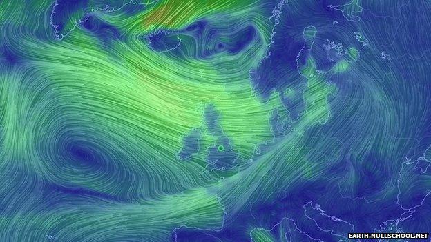
Winds bring in cold air from the Arctic
As the low moves away, winds veer round to a north-westerly direction, introducing a cold air mass which will have originated from the Arctic). It's in these situations that we see wintry showers, snow over high ground settling and of course an ice risk which has been a recurring theme over the last week.
Once the low passes we are seeing a brief ridge of high pressure bringing some respite in the form of dry weather, often with crisp sunshine.
However, this usually only lasts a day or so before the next low pressure approaches northwest Scotland.
Then it's time to repeat the pattern all over again.
- Published9 July 2014
- Published15 February 2014
- Published4 September 2012
- Published10 July 2012