Making deliveries in a badly mapped world
- Published

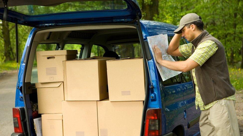
Delivering parcels to remote places with incomplete address can be a headache
Delivering a package from A to B may seem straightforward, but it's fraught with difficulties caused by incomplete or missing addresses. So a number of tech start-ups are trying to solve the problem of a badly mapped world.
When it comes to addresses, people make lots of mistakes - a wrong letter in a post code, a badly spelled road or property name. Delivery companies often get lost. We often can't find that hotel down some foreign back street.
Up to 20% of addresses in developed countries, and 80% in developing countries, are not verified because of mistakes, says the World Tourism Organisation (WTO).
Russian start-up Naviaddress is one of several companies trying to solve this issue using digital wizardry.
But it claims to be the first employing the blockchain as way of verifying and storing its digital addresses in a decentralised ledger spread across thousands of computers.
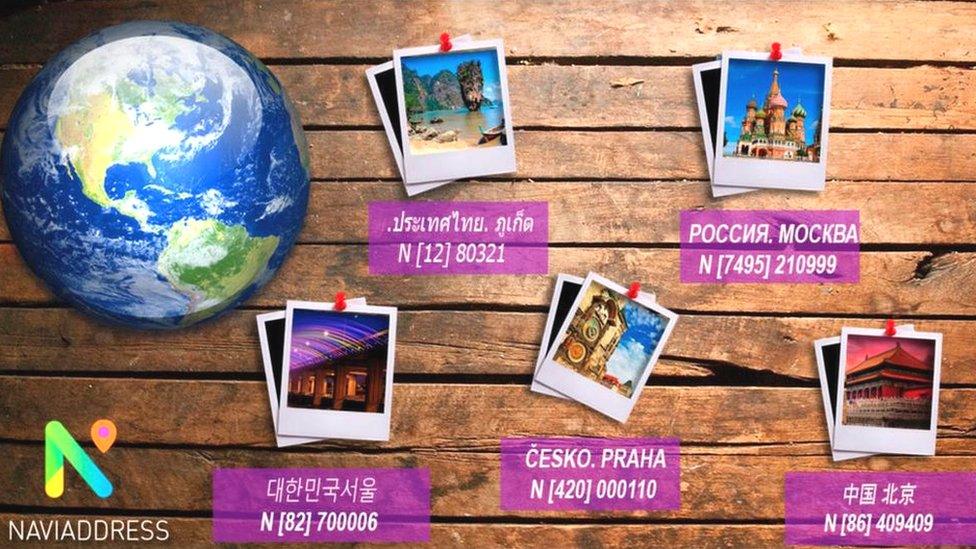
The firm has come up with a way of encoding lots of useful information - photos, route directions, geographical co-ordinates, opening hours - along with traditional physical address details, in a short sequence of digits that functions as a "smart address".

Naviaddress's Dmitri Moiseev wants to solve the "last mile" navigation problem
"We call them Naviaddresses - unified digital IDs for any place and object in real and virtual worlds," says chief executive Dmitri Moiseev.
"It will provide people and businesses with the freedom and ability to create, buy, own, lease and sell their digital addresses within several minutes."
Russian delivery company ExpressRMS has begun using Naviaddress to help improve its service.
"Now, instead of the address in Cyrillic, the client receives a short message with a digital address containing the detailed 'last-mile' navigation information," explains ExpressRMS boss Konstantin Yakunin.
"You just follow the 'Naviaddress 1234' link and receive all the information about the location of the warehouse, like address, gate and building number, pictures of the place, and description of route," he says.

Naviaddress codes include lots of extra data to help people find destinations
The new system has reduced the number of calls asking for directions to warehouses "by 80%-to-85%", says Mr Yakunin.
Naviaddress, which numbers DPD, Amazon and Booking.com among its clients, says it has created 1.5 million smart addresses so far, 1.3 million of those for businesses, and it has more than 60,000 registered app users.
Dr Igor Calzada from Oxford University's Urban Transformations programme, says: "In developing countries particularly, such geo-localisation services ...could enhance the opportunities to solve societal challenges, such as poverty, community development, education and healthcare in remote ...and rural communities."
Yet the problems faced by Naviaddress's customers pale in comparison to businesses in less developed countries, where addresses or street names are sometimes non-existent.
"It takes three phone calls to get food delivered to your door in Nairobi, which is super-frustrating," says Timbo Drayson, founder of Kenyan company OkHi.
"To get someone to your office for a meeting, it takes multiple phone calls, which can be detrimental to the business when you're busy."

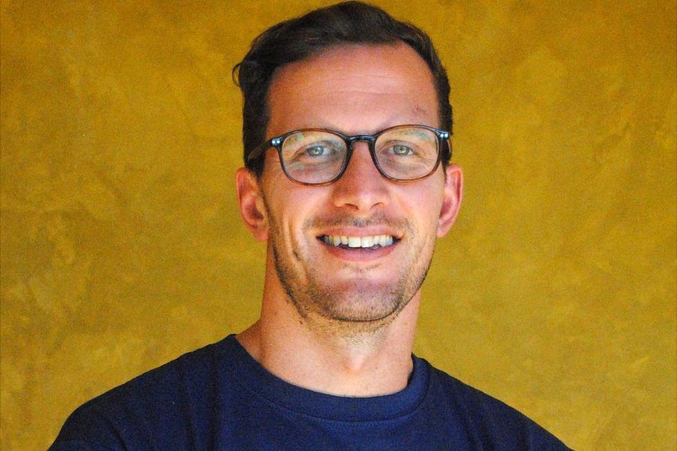
OkHi founder Timbo Drayson is trying to solve Kenya's issue with lack of street addresses
Mr Drayson, who used to work for Google, founded OkHi to address the issue.
"We discovered that GPS by itself was not good enough to get someone reliably to someone's door in urban, slum and rural areas, so we invented an OkHi address, which combines GPS, photo and phone number," he says.
Sagi Vaknin, managing director of Nairobi-based restaurant Artcaffé, says using OkHi has markedly improved food delivery times.
"Prior to OkHi, a rider would make three calls on average to the customer to get help with guidance to his location and take at least 50 minutes to deliver the food," he says.
"Now riders equipped with the mobile app make zero calls, arriving with our food in 30-40 minutes with no frustrations for the customer."
Faster deliveries are better for business.
UK tech company What3Words thinks it is solving the "address unknown" problem by dividing up the entire world into a grid of three metre squares - 57 trillion of them - and assigning each one a unique three-word address.
Its algorithm takes the complex GPS coordinates for each square and converts them into words.
If you want to tell others where you are, you find out what your location's three-word address is via the app and send it to them. They click on the link and it shows the precise location on a map - useful for when you're lost in the wilderness or simply having a picnic in a park.
The service is available in 20 languages and is used by more than 650 businesses, governments and non-governmental organisations around the world, the company says.
And now it is being integrated into car navigation systems.
For example, Mercedes A-Class drivers can get in the car, speak three words, and be guided to that 3m x 3m position without any typing or other interaction required, What3Words says. it is working with other car makers, too.

HERE Technologies thinks the internet of things will markedly improve navigation services
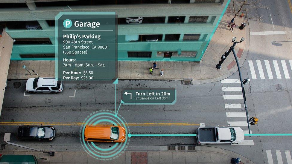
Digital mapping should improve with the advent of the internet of things, believs Peter Kurpick, chief platform officer at Netherlands-based data mapping company HERE Technologies.
The world is "on the cusp of an explosion in location data", he says.
Some forecasters are predicting that by 2020, there will be 200 billion connected devices whose data could be harnessed for location services on a much more accurate scale.
"The problem is that the current development process for location-centric services and applications is rather lengthy and complicated," says Mr Kurpick.
"Data is often in silos and incompatible, while big data management and processing are complex and costly."
More Technology of Business

So HERE is allowing developers and organisations everywhere to access its map infrastructure and technology, which includes the capability to ingest live data from vehicle sensors, for example.
This would be useful for fleet tracking services, he says.
Naviaddress's Dmitri Moiseev admits that it's early days for digital mapping services, but believes the potential to improve life on many levels is immense.
"The digital address system will enhance collaboration and online transactions," he says. "The emergency services will respond faster, resolving health, fire and security issues."
Now we just need a system for ensuring that we're in when the parcel arrives.
Follow Technology of Business editor Matthew Wall on Twitter, external and Facebook, external