Latest EU Sentinel takes first ocean height data
- Published

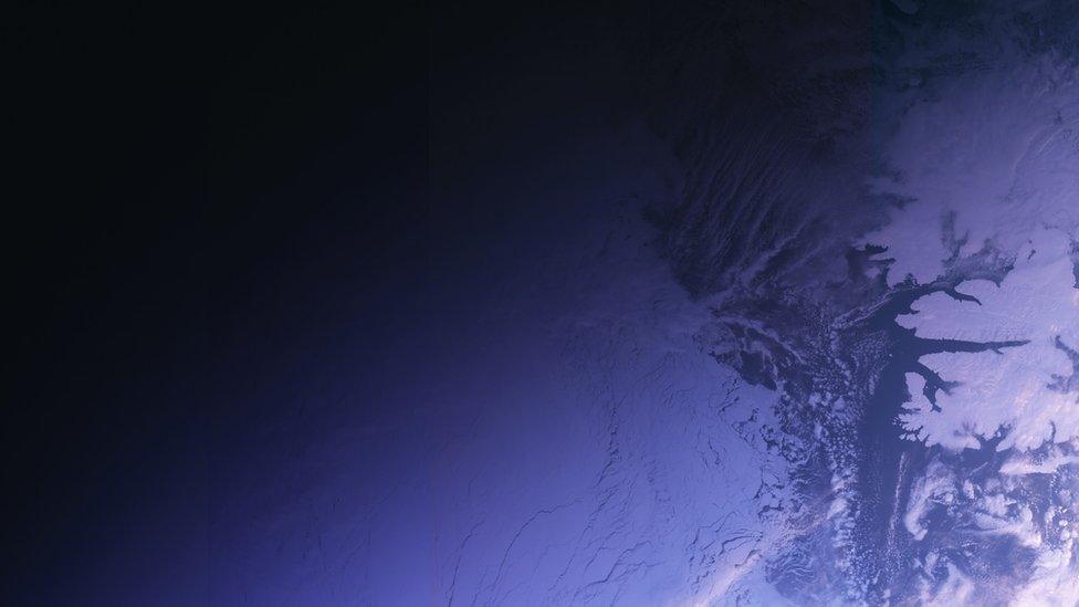
The image shows a Sentinel measurement track running through the Gulf Stream. The wider map is built from other satellite data to which the Sentinel will now contribute
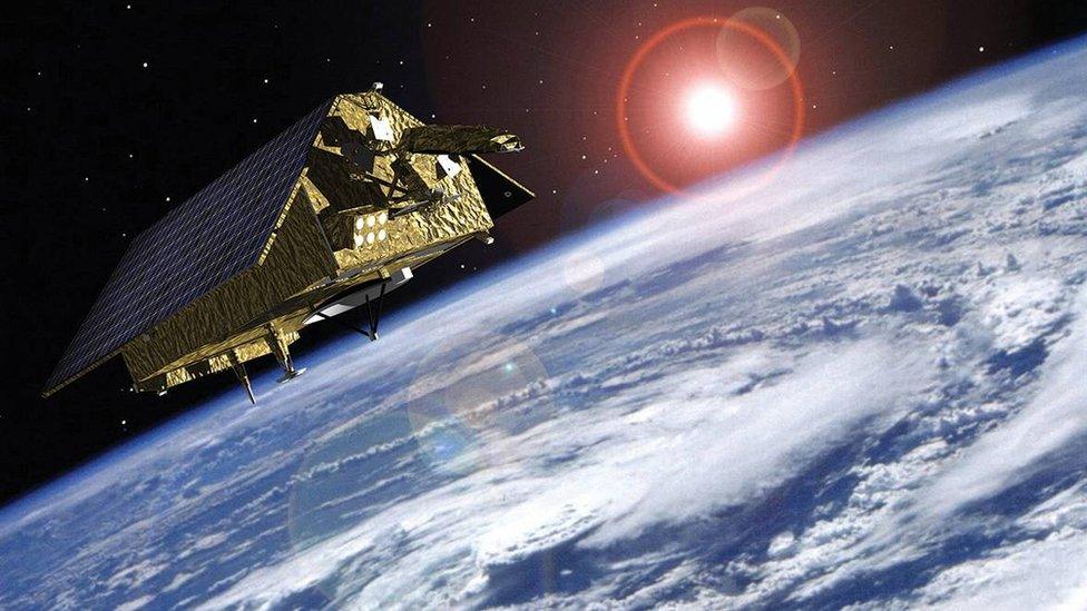
After releasing the first images from its ocean and land colour camera this week, the EU's new Sentinel satellite has produced its first sea-surface height measurements.
These come from the spacecraft's altimeter instrument.
A lot of work still needs to be done to get the Sentinel-3a tool ready for full science operations, but the first data look extremely encouraging.
The sample track on this page clearly shows features of the Gulf Stream.
This dominant flow of warm water that crosses the Atlantic from the Gulf of Mexico towards Europe stands proud against the surrounding ocean surface.
Seeing such currents in action will be just one type of observation made by the new Sentinel altimeter.
It will also assess the general height of the global oceans, measure wind speeds out at sea (by examining the state of the ocean surface), and track the size of waves.
In addition, it will sense oil slicks in pollution incidents; and in polar regions, it will even gauge the shape of the ice sheets and the thickness of marine floes.
"All this will feed into a range of different services," said Dr Craig Donlon, the senior scientist on Sentinel-3a for the European Space Agency (Esa).
"For example, the maritime sector can use ocean current data to plot more efficient courses for ocean passages.
"By working with currents, as opposed to against them, ships can reduce their fuel costs and limit their carbon emissions.
"But perhaps the most important measurement we will make with the altimeter is the direct measurement of sea level changes.
"As you know, there is a big challenge this century for coastal communities and small island states to be able to cope with global ocean rise, and with Sentinel-3 we will be contributing to these critical observations."

Tracks of "significant wave height", which is information relevant to maritime safety
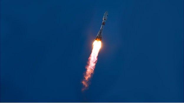
Sentinel-3a was launched two weeks ago, external. It is one in a series of Earth observers being procured for the European Union's Copernicus programme.
The data from this ambitious, multi-billion-euro project is expected to drive myriad applications, ranging from air quality updates to crop-performance monitoring, from water-resource management to transport infrastructure planning.
Esa acts as the technical agent on the Sentinels, scoping their design and then getting industry to build them.
The radar altimeter on Sentinel-3a works by constantly throwing down pulses of microwave energy at the ocean.
The time taken for these pulses to bounce back can be assembled into a map of surface topography.
Numerous measurements made over the ocean and averaged over a long period will eventually reveal millimetric trends.
Data-sets gathered by previous generations of satellites - and to which Sentinel-3a will now contribute - show that globally, seas have been rising at a rate of just over 3mm/yr over the past 20 years.

The European-funded Sentinel series

Sentinel-3 is focussed on the oceans but will also make measurements over land surfaces
The Sentinels represent the world's most ambitious Earth observation project
Sentinel-1: Radar satellite that can see the Earth's surface in all weathers
Sentinel-2: Colour camera dedicated to study principally land changes
Sentinel-3: Multi-wavelength detectors tuned to observe ocean behaviour
Sentinel-4: High-orbiting sensor to measure atmospheric gases
Sentinel-5: Low-orbiting atmospheric sensor to help monitor air quality
Sentinel-6: Future version of the long-running Jason sea-surface height series
What is the Copernicus programme?
EU project that is being procured with European Space Agency help
Pulls together all Earth-monitoring data, from space and the ground
Will use a range of spacecraft - some already up there, others yet to fly
Expected to be invaluable to scientists studying climate change
Important for disaster response - earthquakes, floods, fires etc
Data will also help design and enforce EU policies: fishing quotas etc
Jonathan.Amos-INTERNET@bbc.co.uk, external and follow me on Twitter: @BBCAmos, external
- Published2 March 2016
- Published25 February 2016
- Published3 December 2015
- Published11 May 2015
- Published3 April 2014
- Published2 April 2014


