'3D Cryosat' tracks Arctic winter sea ice
- Published

To understand Arctic sea ice requires measurement of both area and thickness
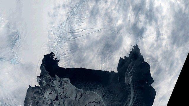
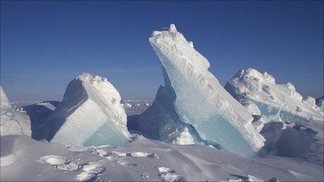
Although Arctic sea ice set a record this year for its lowest ever winter extent - that was not the case for its volume, new data reveals.
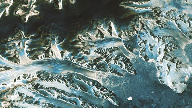
Europe's Cryosat spacecraft, external routinely monitors the thickness of floes in the far north.
The thinnest winter ice it has ever seen was in 2013. This February, in contrast, the Arctic floes were about 25cm (17%) thicker on average.
The long-term trend is, however, still downwards, the Cryosat team cautions.
"Year to year, the numbers will jump about, and it just so happens that we've seen relatively high levels of Arctic sea ice thickness and volume in recent years," said Rachel Tilling from the UK's Nerc Centre for Polar Observation and Modelling (CPOM).

Cryosat is a satellite altimetry mission managed by the European Space Agency
"But sea ice volume is definitely the number people should watch, because it is the most reliable measure of how much ice is left. It's also what we need to understand the processes that have caused the Arctic climate to change which, in turn, will help us to build more accurate models of what may happen to sea ice in the future," the University College London researcher told BBC News.
The Cryosat team released its Arctic winter assessment here at the European Geosciences Union General Assembly in Vienna, Austria, external.
The maximum extent of winter sea ice this year was called for 25 February at some 14.54 million sq km. That is the smallest winter maximum in the satellite record. It is, though, a two-dimensional view of the Arctic, and just considering extent can hide the fact that winds will sometimes spread out the floes and sometimes pile them up.
Measuring thickness, on the other hand, captures another aspect of the Arctic system's behaviour. Cryosat does this by detecting the height of the ice sitting above the ocean water. Combining both datasets - thickness and extent - allows scientists to compute changes in sea-ice volume.
This February, Cryosat saw average sea-ice floe thicknesses of just over 1.7m, giving a volume across the Arctic of nearly 24,000 cubic km. Back in the winter of 2013, following strong melting during the previous summer, floe thicknesses averaged 1.5m and the volume fell below 21,000 cu km.
Doing all of the data processing to produce thickness and volume numbers has been a time-consuming business for the Cryosat team, but the group is now able to turn out the information much faster than when the mission first launched in 2010. And to mark the spacecraft's fifth birthday in orbit, the team is switching on a new, near-real-time service to aid science and maritime activities.

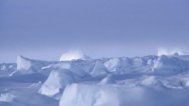
Science and maritime activities in the Arctic need thickness data to stay safe
This is a web portal, external where users can get information on sea-ice thickness no more than two days after Cryosat makes the observations.
It is not a full sweep of the entire Arctic. Rather, it is a series of samplings across the region that should give anyone working in the far north a clearer idea of the conditions they are likely to encounter.
"To navigate thick sea ice, icebreaker ships with strengthened and streamlined hulls are needed," explained Prof Andy Shepherd, the principal scientific advisor to the Cryosat mission.
"With Cryosat, we're now able to provide users of the Arctic with information on sea-ice thickness in rapid fashion, which will be a step change from what has gone before."
The Leeds University researcher said that in setting up the service, Cryosat's mission was altering slightly.
Whereas before it was simply a scientific tool to study the climate and the changing environment, it is now acting more like the Sentinel satellites that Europe is currently launching to provide day-to-day operational data.
The European Space Agency's mission manager on Cryosat is Tommaso Parrinello. He told BBC News: "Timely and pan-Arctic knowledge of the sea-ice volume, throughout the year, is becoming a priority for a number of operational and forecasting services as the ice is replaced by water.
"For example, shipping companies require qualified information to operate and sail safely at all Arctic latitudes, and a mission like Cryosat has all the characteristics and the ambition to support such new developments."

How Cryosat measures sea-ice volume

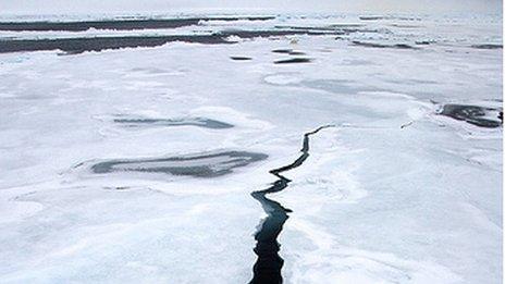
Cryosat's radar has the resolution to see the Arctic's floes and leads
Some 7/8 of the ice tends to sit below the waterline - the draft
The aim is to measure the freeboard - the ice part above the waterline
Knowing this 1/8th figure allows Cryosat to work out sea-ice thickness
The thickness multiplied by the area of ice cover produces a volume
Volume - not area - is the best guide to the status of Arctic sea ice
Cryosat's measurement technique works in autumn, winter and spring
Melt ponds on the ice make a mid-summer assessment very difficult
Cryosat near real-time sea-ice thickness data

Cryosat is now turning out data no more than two days after acquisition
Jonathan.Amos-INTERNET@bbc.co.uk and follow me on Twitter: @BBCAmos, external
- Published19 March 2015
- Published15 December 2014
- Published2 October 2014
- Published22 September 2014
- Published19 May 2014
- Published16 December 2013
- Published11 December 2013